|
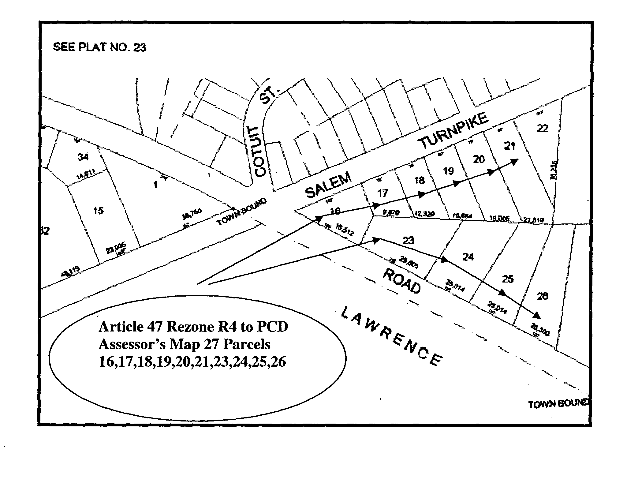
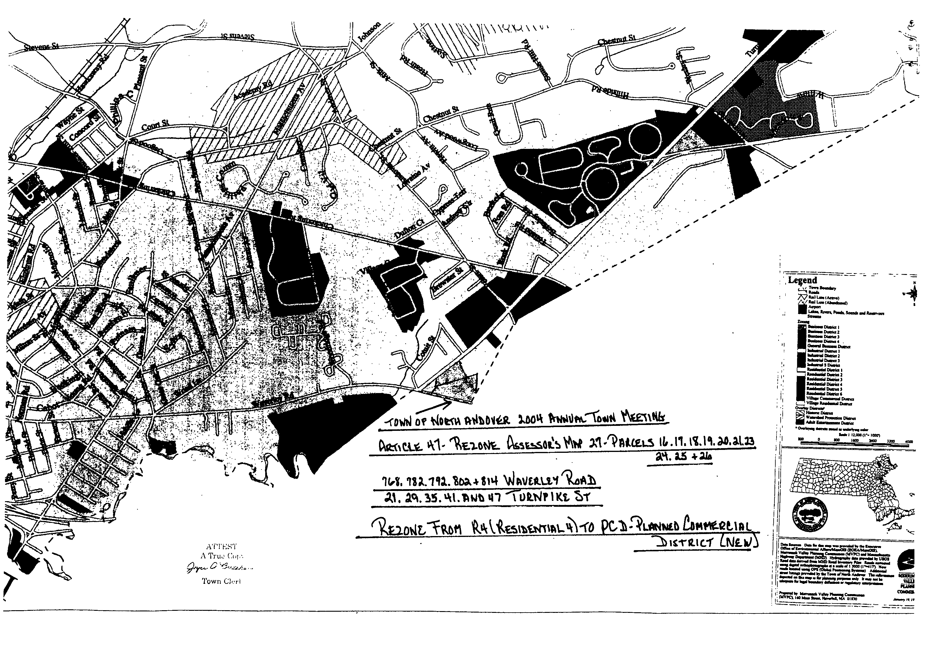
Article 47. Amend the North Andover Zoning Map - Parcels on Waverley Road and Turnpike Street. UNANIMOUSLY VOTED to amend the Zoning Map of the Town of North Andover for the following parcels fronting along Waverley Road and Route 114 (also known as Salem Turnpike) and totaling approximately 5.3 acres. Said parcels consisting of ten residential parcels; five fronting on Route 114, with street addresses of 21, 29, 35, 41 and 47; and five fronting on Waverley Road with street addresses of 768, 782, 792, 802 and 814, all parcels as shown on the North Andover Assessors Map 27; as parcels 16, 17, 18, 19, 20, 21, 23, 24, 25, 26. The amendment of the Zoning Map for the aforementioned parcels shall be from the current zoning designation of Residential 4 to be placed by the Zoning district Planned Commercial Development. Said parcels are shown below.�
|


