
a. Required Documents. Prior to issuance of a Certificate of Completeness or scheduling of a minor subdivision for public hearing, the Administrative Officer shall determine that the following have been submitted in proper form:�
1. A certificate of title, which may be on the plat (signed by the owner and notarized) or in a letter form, signed by a member of the New Jersey Bar, by a title officer or authorized agent of a title insurance company licensed to do business in the State of New Jersey, which certificate shall confirm that the owner of the premises in question is the owner as shown on the plat.�
2. Borough Engineers report.�
3. Application for State wetlands approval, where required.�
4. Other submittals that may be required by the Borough Engineer, Planning Board, Board of Adjustment, or Federal, State or local law.�
5. The application for development for a minor subdivision or minor site plan shall include a request for the granting of any variances required.�
6. Required application fees.�
7. Fifteen (15) copies of a plat and attachments meeting the requirements set forth below.�
b. Plat Requirements.�
1. General Requirements. The plat for a minor subdivision shall be drawn at a scale of not less than one hundred (100') feet to the inch, shall conform to the provisions of the Map Filing Act, Chapter 141 of the Laws of 1960 of the State of New Jersey as amended and supplemented and shall include or be accompanied by the information specified below.�
(a) All dimensions both linear and angular, of the exterior boundaries of the subdivision, all lots and lands reserved or dedicated for public use shall balance and their descriptions shall close within a limit of error of not more than one (1) part in ten thousand (10,000).�
(b) The minor subdivision shall be based upon a current boundary survey certified to the subdivider and prepared or recertified not less than twelve (12) months prior to the date of application.�
2. Title Block. A title block shall appear on all sheets and include:�
(a) Title of "Minor Subdivision."�
(b) Name of the subdivision, if any.�
(c) Tax Map sheet, block and lot number(s) of the tract to be subdivided as shown on the latest Borough Tax Map, the date of which shall also be shown.�
(d) Acreage of the tract being subdivided to the nearest tenth of an acre.�
(e) Names and addresses of owner and subdivider so designated.�
(f) Date (of original and all revisions).�
(g) Name, signature, address and license number of the land surveyor who prepared the map and made the survey (the plat shall bear the embossed seal of the land surveyor).�
3. Detailed Information.�
(a) A key map (at a scale of not less than one (1") inch equals one thousand (1,000') feet) showing the location of the tract to be subdivided with reference to surrounding areas, existing streets which intersect or border the tract, the names of all such streets and any zone boundaries and Borough boundary which is within five hundred (500') feet of the subdivision.�
�
(b) The names of all owners of and property lines of parcels adjacent to the land to be subdivided, including properties across the street, as shown by the most recent records of the Borough.�
(c) All zone boundaries, Borough borders, existing; public easements, tax map lot and block numbers, watercourses, floodways and flood hazard areas within two hundred (200') feet, and both the width of the paving and the width of the right-of-way of each street within two hundred (200') feet of the subdivision.�
(d) All existing structures, with an indication of those which are to be destroyed or removed, and the front, rear and side yard dimensions of those to remain, referenced to proposed lot lines.�
(e) All proposed public easements or rights-of-way and the purposes thereof.�
(f) The existing system of drainage of the subdivision and of any larger tract of which it is a part, together with information on how it is proposed to dispose of surfaced drainage (where required by the Board or Borough Engineer).�
(g) All proposed lot lines and the areas of all lots in square feet. The areas and dimensions specified shall be shown to the nearest hundredth of a square foot or hundredth of a linear foot.�
(h) North arrow.�
(i) Written and graphic scales.�
(j) A copy of any existing or proposed covenants or deed restrictions applying to the land being subdivided or certification that none exist. Such certification may be in letter form signed by a member of the New Jersey Bar, by a title officer or authorized agent of a title insurance company licensed to do business in New Jersey.�
(k) Proposed lot and block numbers approved by the Borough Engineer.�
(l) Such other information as the Board and/or Borough Engineer may require or request during the review of the application for classification and approval as a minor subdivision.�
c. Action on Minor Subdivision Application.�
1. By the Planning Board.�
(a) Referral to Committee. Each complete application for development for a minor subdivision shall be refererred to the Subdivision Committee. The Subdivision Committee, in accordance with the definition of a minor subdivision shall either approve the application for classification and approval as a minor subdivision or refer the subdivision to the full Planning Board for hearing and consideration. If the Subdivision Committee approves the application, no further municipal action will be required.�
(b) Action by Committee. In order to be approved and classified as a minor subdivision by the Subdivision Committee, the vote of the Committee must be unanimous. Applications for development for minor subdivision shall be referred to the full Planning Board for public hearing and vote in all of the following instances:�
(1) The vote of the Classification Committee is not unanimous.�
(2) Unfavorable recommendation from the Planning Board Engineer.�
(3) The subdivision also requires the granting of a variance or variances.�
(4) The application for development also requests approval of a major site plan, conditional use and/or direction for issuance of a building permit.�
(c) Action by Planning Board.�
(1) The action taken by the Subdivision Committee shall be announced at a public meeting of the Planning Board.�
(2) If an application is referred to the full Board by the Subdivision Committee, the Board will take action within forty-five (45) days of the date of submission of a complete application. Any referrals by the Subdivision Committee will be made in a timely manner so that the Board can take action within the time allowed.�
2. By the Zoning Board of Adjustment. If an application for classification and approval as a minor subdivision is before the Board of Adjustment, it may be classified and approved as a minor subdivision by a majority vote of a quorum of the Board, with or without conditions. (If such action is simultaneous with action on a variance pursuant to N.J.S.A. 40:55D-70, d an affirmative vote of at least twothirds (2/3) of the full authorized members of the Board is required.)�
d. Conditions of Approval. Any approval of an application for development. for a minor subdivision granted by the Planning Board or Board of Adjustment shall be subject to the following conditions being satisfied prior to signing of the plat or issuance of a development permit:�
1. Installation of or posting of performance guarantees for the installation of any improvements required by the Board.�
�
2. Payment of any outstanding real estate, water and sewer charges.�
3. Monmouth County Planning Board approval (if not previously granted).�
4. Red Bank Public Utilities Department approval (if not previously granted).�
�
5. Payment of the required reproduction and tax map revision fees.�
6. Submission of additional prints of the plat map and attachments for distribution (if required).�
7. Publication of a notice of the decision of the Board by the applicant within the time set forth in Section 25-3.3 f. of this Chapter.�
8. Any other conditions which may be imposed by the Board or which may be required by Federal, State or local law.�
9. A condition setting forth the time within which all conditions must be satisfied as described in Section 25-3.3 g. of this Chapter.�
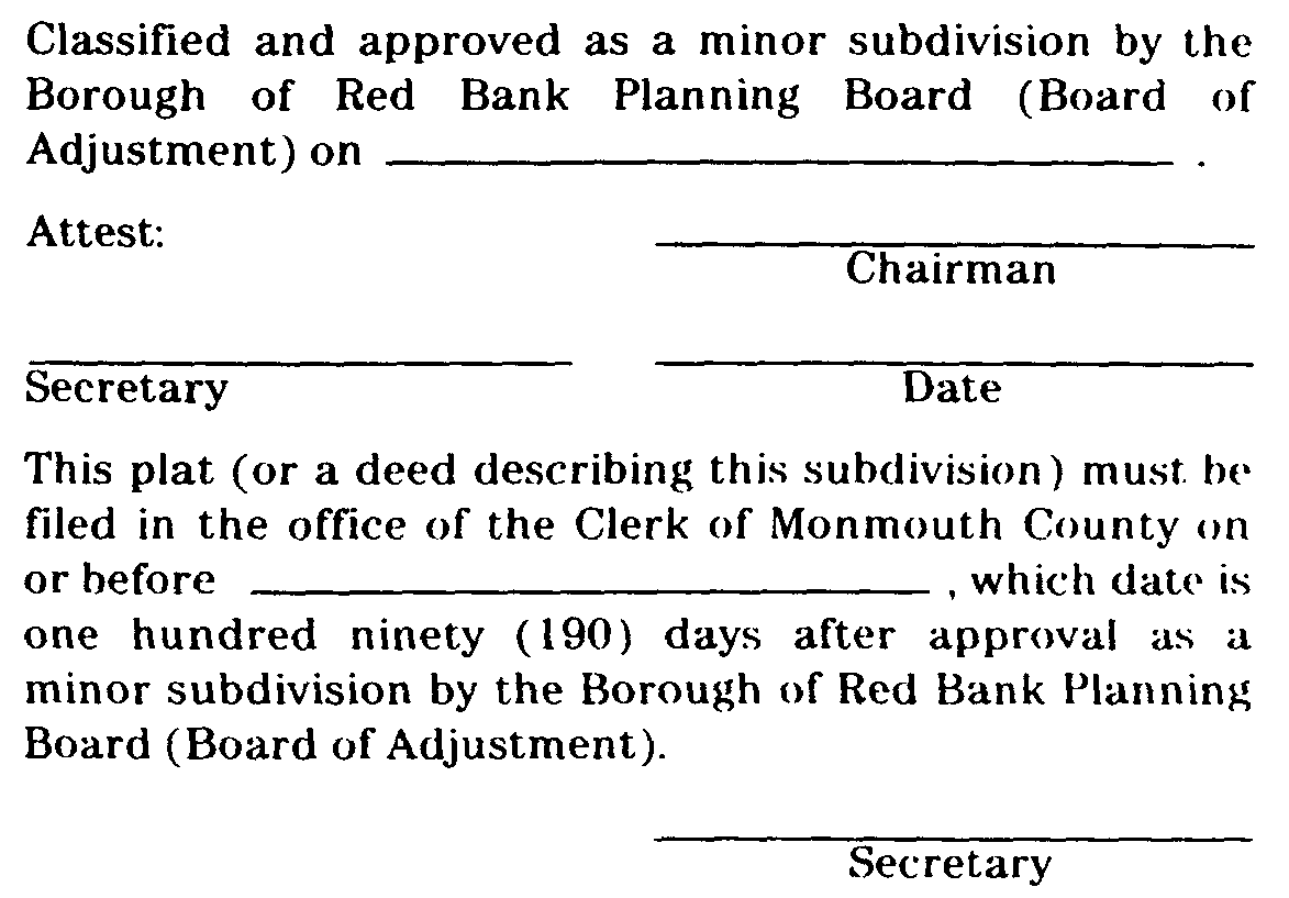
e. Certification. In the event that the application for development for a minor subdivision is approved, a certification to that effect in this form:�
a. Required Documents. Prior to issuance of a Certificate of Completeness or scheduling of a minor site plan for consideration by the Municipal Agency, the Administrative Officer shall determine that the following has been submitted in proper form:�
1. Borough Engineer's report.�
2. Copy of application for granting of CAFRA Permit, where required and if submitted.�
3. Application for State Wetlands Permit, where required.�
4. Other submittals that may be required by the Planning Board or Federal, State or local law.�
5. The application for development for minor site plan shall include a request for the granting of any variances required or other approvals required from the Municipal Agency.�
6. Required application fees.�
7. Fifteen (15) copies of a plat and attachments meeting the requirements set forth below..�
b. Plat Requirements.�
1. General Requirements.�
�
(a) Any minor site plan presented to the Municipal Agency for its approval shall be drawn, signed and appropriately sealed by an architect, professional engineer, land surveyor and/or professional planner licensed to practice in the State of New Jersey.�
(b) Site plans shall not be drawn at a scale smaller than one inch equals fifty (1" = 50') feet nor larger than one inch equals ten (1" = 10') feet. If the size of the site would require the use of sheets larger than thirty inches by forty-two (30" X 42") inches in order to show the entire site on one (1) sheet, the detailed information for the site plan shall be shown in sections on sheets not larger than thirty inches by fortytwo (30" X 42") inches, which sheets shall be keyed to an overall plan of the site drawn at a scale of not less than one inch equals two hundred (1" = 200') feet.�
(c) The site plan shall be based on a monumented current, certified boundary survey. The date of the survey and the name of the person making same shall be shown on the map. If twelve (12) months or more has passed since the date of (or date of last recertification of) the survey, it shall be recertified and if necessary, brought up to date.�
2. Title Block. The title block shall appear on all sheets and include:�
(a) Title of "Minor Site Plan."�
(b) Name of the development, if any.�
(c) Tax map sheet, block and lot number of the site, as shown on the latest Borough Tax Map, the date of which should also be shown.�
(d) Date (of original and all revisions).�
(e) Names and addresses of owner and developer, so designated.�
(f) Name(s), signature(s), address(es), and license number(s) of engineer, architect, land surveyor or planner who prepared the plat and their embossed seal.�
(g) If the site plan contains more than one (1 ) sheet, each sheet shall be numbered and titled.�
3. A schedule shall be placed on the site plan indicating:�
(a) The area of the tract and site (the portion of the tract involved in the site plan).�
(b) The floor area of the existing and proposed building, (listed separately).�
(c) The proposed use or uses and the floor area devoted to each use.�
(d) The zone in which the site is located.�
(e) Proposed and required lot dimensions and front, rear and side setbacks.�
(f) Proposed and required off-street parking spaces.�
(g) Square footage and percentage of the site retained in unoccupied open space.�
4. North arrow and written and graphic scales.�
5. Sufficient spot elevations (U.S.C. and G.S. datum) and/or contour lines to indicate the proposed system of surface drainage and the relationship of proposed grading to the land surrounding the site.�
6. The tops of the banks and boundaries of the floodways and flood hazard areas of all existing water courses, where such have been delineated or the limits of alluvial soils where the boundaries of floodways and flood hazard areas have not been determined, and/or such other information as may assist the Planning Board in the determination of floodway and flood hazard area limits.�
7. Paving and right-of-way widths of existing streets within two hundred (200') feet of the site.�
8. The boundary, nature and extent of wooded areas, swamps, bogs and ponds within the site and within two hundred (200') feet thereof. Any specimen trees twelve (12") inches D.B.H. or larger on the site.�
9. A key map, (at a scale of not less than one inch equals one thousand (1" = 1,000') feet), showing the location of the site with reference to surrounding areas, existing streets, the names of all such streets and any zone boundaries or Borough boundary which is within five hundred (500') feet of the subdivision.�
10. The following shall also be required unless the Administrative Officer determines that they are not necessary to provide a full understanding of the application:�
(a) Existing at point of connection and all proposed manholes, sewer lines, water lines, fire hydrants, utility poles and all other topographical features of a physical or engineering nature within the site and within fifty (50') feet thereof.�
(b) All existing structures on the site and within fifty (50') feet thereof, including their use, thereof indicating those to be destroyed or removed and those to remain.�
(c) Location, use, finished grade level, ground coverage, first floor and basement elevations, front, rear and side setbacks of all buildings and other pertinent improvements.�
(d) Existing and proposed public easements or rights-of-way and the purposes thereof.�
(e) Zone boundaries and tax map sheet, lot anal block numbers and names of owners of all properties across any street from or within fifty (50') feet of the site.�
(f) The capacity of off-street parking areas and the location and dimensions of all access drives, aisles and parking stalls.�
(g) The location and size of proposed loading; docks.�
(h) Location of curbs and sidewalks.�
(i) Cross-section(s) showing the composition of pavement areas, curbs and sidewalks.�
(j) Exterior lighting plan, including the location, direction of illumination, amount of illumination expressed in horizontal foot candles, wattage and drawn details of all outdoor lighting standards and fixtures.�
(k) Landscaping and screening plan showing the location, type, spacing and number of each type of tree or shrub and the location, type and amount of each type of ground cover to be utilized.�
(l) Location of signs and drawn details showing the size, nature of construction, height and content of all signs.�
(m) Drawn details of the type of screening to be utilized for refuse storage areas, outdoor equipment and bulk storage areas.�
(n) Floor plans and building elevation drawings of any proposed structure or structures, or existing structures to be renovated.�
(o) Written description of the proposed operations in sufficient detail to indicate the effects of the use in producing traffic congestion, noise, glare, air pollution, fire hazards or safety hazards. The written description of the use, the number of shifts to be worked, the number of employees in each shift, the number of vehicles to be stored or parked on the site, and provisions to be made for site maintenance.�
11. Such other information as the Municipal Agency and/or Borough Engineer may request during site plan review.�
c. Conditions of Approvals. Any approval of an application for development for a minor site plan granted by the Municipal Agency, shall be subject to the following conditions being satisfied prior to signing of the site plan or issuance of a Development Permit.�
1. Installation and approval of, or posting of performance guarantees for the installation of those improvements which are necessary to protect adjacent property and the public interest in the event development of the site was not completed.�
2. Payment of any outstanding real estate, water and sewer charges.�
�
3. Final Monmouth County Planning Board approval (if not previously granted).�
4. Red Bank Public Utilities Department approval (if not previously granted).�
5. Payment of the required reproduction and tax map revision fees.�
6. Submission of additional prints of the site plan and attachments for distribution (if required).�
7. Filing of an appropriate instrument with the Monmouth County Clerk consolidating the lots constituting the site (if required).�
8. Publication of a notice of the decision by the applicant within the time set forth in Subsection 25-3.3 f. of this Chapter.�
9. Any other conditions which may be imposed by the Planning Board or which may be required by Federal, State or local law.�
10. A condition setting forth the time within which all conditions must be satisfied as described in Subsection 25-3.3 f. of this Chapter.�
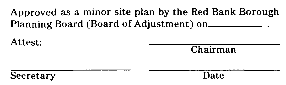
d. Certification. In the event that the application for development for a minor site plan is approved, a certification to that effect in this form:�
shall be endorsed on the site plan and the original reproducible thereof shall be provided to the Planning Board by the applicant. Said original shall be signed by the Chairman and Secretary or Assistant Secretary of the Municipal Agency after they receive certification from the Administrative Officer that all conditions of approval have been satisfied. After signature, the site plan shall be reproduced as provided for in Subsection 25-6.4 of this Chapter and the signed original shall be returned to applicant.�
e. Effect of Approval. The approval of a minor site plan shall expire two (2) years after the date of approval if a building permit, or where a building permit is not required, a Certificate of Occupancy has not been obtained.�
(Ord. #686, S 13-6.6)�

