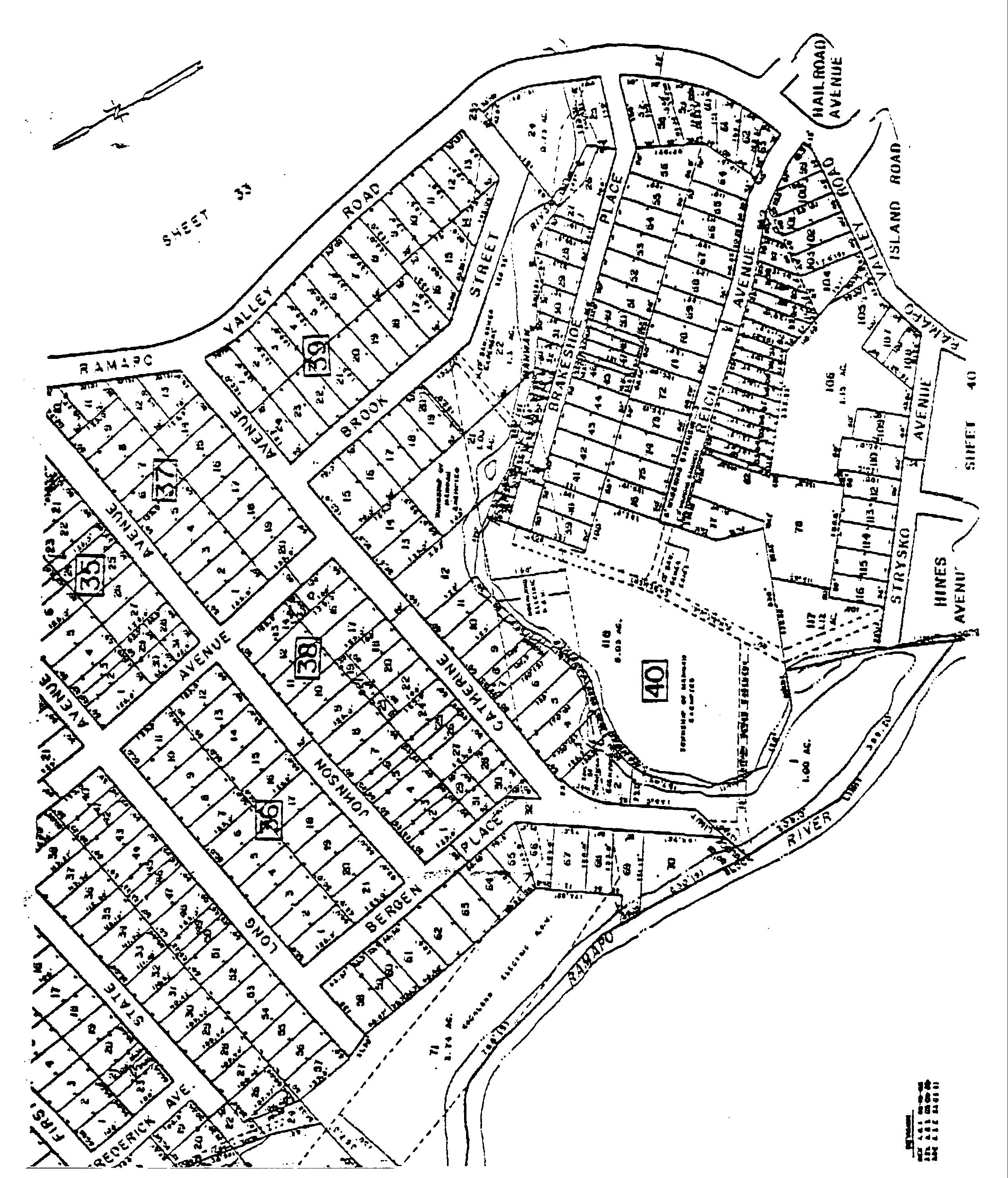
**Webmasters Note: The previous 1995 zoning map have been made as per Ordinance No. 1267�
a Designation of Zone Boundaries. The zone boundary lines are intended generally to follow the center lines of streets; the center lines of railroad rights-of-way; existing lot lines; the center lines of rivers, streams and other waterways; and Municipal boundary lines. When a district boundary line does not follow such a line, its position shall be shown on the Zoning Map by a specific dimension expressing its distance, in feet, from a street line or other boundary line as indicated.�
b. Determination of Doubtful Lines. In cases of uncertainty or disagreement as to the true location of any zone boundary line, the determination thereof shall lie with the Board of Adjustment. (Ord. #574; 1976 Code § 179-9)�